Platform
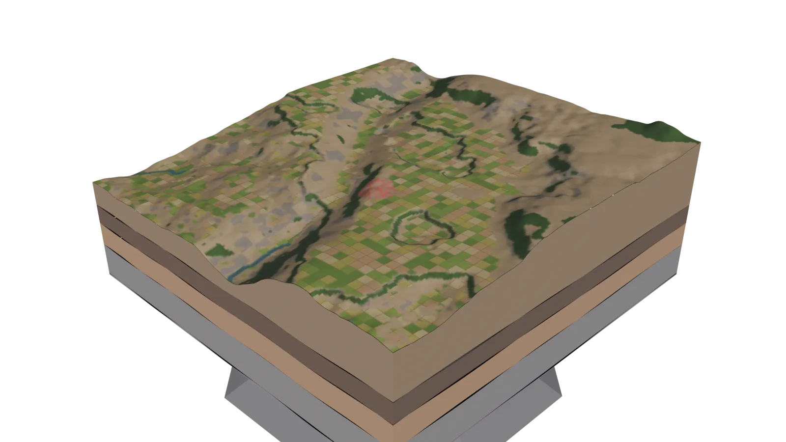
Villagist brings land, water, soil, climate and vegetation into a single map for every Census village — then turns it into a holistic, ridge-to-valley plan your team can act on.
LAYERS
Point insights

Find any village
Search by State, District, Taluka and Village. The map flies to the Census boundary, outlines it and keeps its codes on every output.

Instant point insights
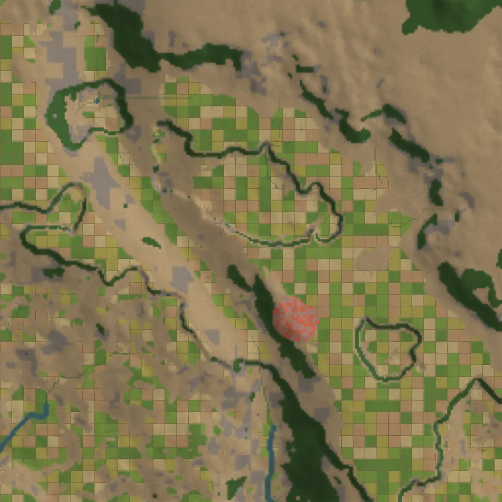
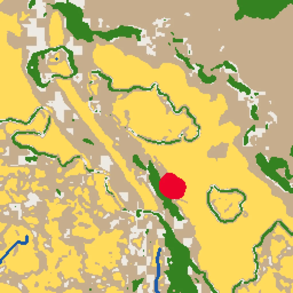
Click anywhere to read elevation, slope, land use, watershed, drought exposure and erosion risk for that exact spot — no GIS desk required.

Soil you can rely on
Modelled soil properties side by side with your own lab results. Your samples take priority wherever they exist, and stay private to your organisation.

Water & climate in context
Daily rain, monthly patterns, temperature, soil moisture and groundwater trends — so structures are planned for how the monsoon really behaves here.

Change you can show
Season-by-season greenness and decades of surface-water history. Animate a village year by year and export it for your board or gram sabha.

Reports that travel
One-click point and village reports with maps, figures and recommended works — ready for field teams, donors and approvals.
0725+ layers & indicators
Every layer is aligned to the same base and focused on the village you choose — so a field officer, a researcher and a programme head all see the same evidence.
01
Water
Surface water, seasonal flooding, streams, watersheds, soil moisture and groundwater
02
Climate & drought
Rainfall, day and night land temperature and long-term drought exposure
03
Land & soil
Land use, slope, soil properties, rock type, tree cover and canopy
04
Hazards
Fire hotspots and cyclone history around the village
05
Biodiversity
Protected areas, ecoregions and species-record density
06
People
Population density and settlement brightness
08How it works
Select
Choose State, District, Taluka and Village. The boundary is outlined instantly.
Analyse
Click any point for terrain, soil, water, climate and greenness in one panel.
Plan
See where each work fits from ridge to valley, under your organisation's own norms.
Report & monitor
Download point and village reports, then watch the land respond year after year.