
Solutions
Villagist reads every part of a village and suggests where each natural-resource work belongs — then lets your team refine the plan to its own programme norms. Scroll through them and drag any model to look around.
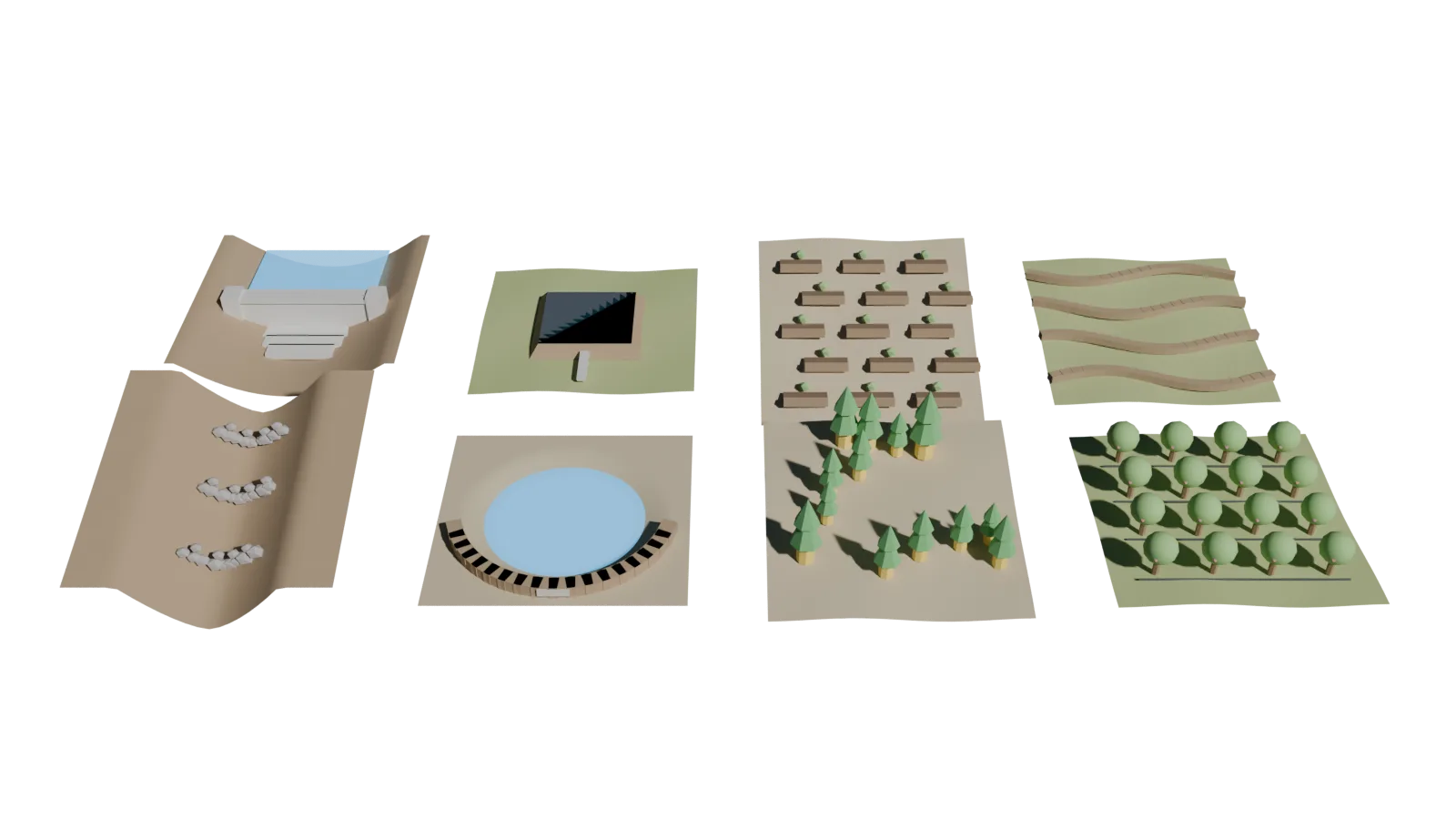
DRAG TO ROTATE
WORK 01 / 08 · RIDGE
Contour trenches
Trenches dug along the contour on upper slopes to break runoff and hold rain where it falls.
Typically placed on
Steep, non-farm ridge landWhy it matters
Slows erosion at the source and recharges the ridge.09Holistic NRM planning
Water and soil move downhill, so works must be planned together. Villagist treats the whole village as one watershed — holding rain on the ridges, checking silt in the gullies, keeping moisture in farms and storing water in the valley — so every structure supports the next.
MAIN DRAINAGE
Check dams
Masonry or concrete barriers across streams that store runoff and recharge wells. Stores monsoon runoff and lifts water tables.
ZONE 01
Ridge
Hold rain where it falls
ZONE 02
Upper drainage
Check silt and speed
ZONE 03
Slopes & farms
Keep soil and moisture in fields
ZONE 04
Valley & streams
Store and recharge
10Your norms, your plan
Every organisation plans a little differently. Villagist lets you align its suggestions with your own technical guidelines — and every suggestion comes with the reasons behind it, so field teams can check it on the ground.
Suggested works · sample village